Invisible Influenced
Supported by Jerome Foundation
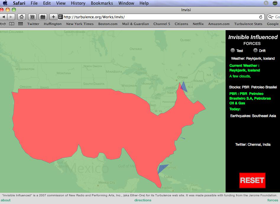
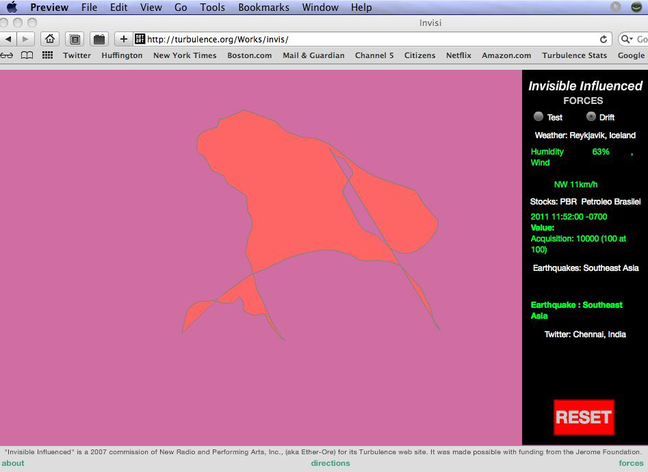
Invisible Influenced is a Rorschach test for envisioning the US as the recipient rather than the cause of worldwide events. Contrary to the notion of impervious superpower, the artwork projects the emerging perception that the country is vulnerable to foreign conditions of climate, public opinion, economics and a variety of social institutions. Shape reads, in this case, as the confluence of intercontinental subconscious activity, which is in the process of becoming visible. Users select from foreign sources of news, weather conditions, health conditions, stock indexes, and blogs. Informational sources are chosen for their seeming distance from the US daily experience. Qualitative and quantitative indices found in global internet texts and databases are translated into up to four directional vector magnitude forces surrounding the continent. The US map silhouette then responds and distorts according to elastic physics properties programmed to its perimeter. The test mode allows the forces to act for a limited period of time; the drift mode allows the map to continue to transform until the program is reset.
TAXONOMY
Interactive | Mapping | Net Art | Perception | Physics | Real Time | RSS | Search | Systems
REQUIREMENTS
Flash Player needed. This piece relies on multiple RSS feeds from sites such as Flickr.com and Twitter.com. They are currently disabled.
MEDIA & ACHIEVEMENTS
Invisible Influenced | Wil Pappenheimer | CIAC’s Electronic Magazine
Invisible Influenced | Will Pappenheimer and Chipp Jansen | Rhizome
ADDITIONAL NOTES
The work also operates metaphorically through the concept of the “butterfly effect” from chaos theory. Small changes to nonlinear dynamical systems can produce large long term transformational phenomena. The beating of a butterfly’s wings in the Kurile Islands causes a hurricane over Florida. The site displays a simple map silhouette of the country with pull-down menus for a number of searchable real-time categories of influence. Users select from foreign sources of news, weather conditions, health conditions, stock indexes, and blogs. Informational sources are chosen for their seeming “distance” from the US daily experience.
Qualitative and quantitative indices found in global internet texts and databases are translated into up to four directional vector “magnitude” forces surrounding the continent. The US map silhouette then responds and distorts according to elastic physics properties programmed to its perimeter. The right-hand selection panel displays menu choices and the source information, text and imagery being retrieved. There are two modes for operation, a default “test” mode that allows the forces to act for a limited period of time, generating a finished image test and an alternate “drift” mode allowing the map to continue to transform until the program is reset.


